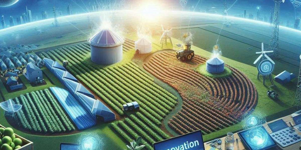
In modern agriculture, it's crucial not only to increase yields but also to efficiently use natural resources such as water, fertilizers, and land. Geographic Information Systems (GIS) have become one of the key tools for farmers to achieve these goals. The use of GIS technologies enables real-time field monitoring and precise resource allocation. If you're interested in learning more about how these technologies can benefit your farm, check out https://gis-point.com, a company that provides GIS implementation services across various industries, including agriculture.
How is GIS Changing the Agricultural Landscape?
Originally designed as a tool for processing and analyzing spatial data, GIS has significantly expanded its role in agriculture. Today, GIS allows farmers to not only see where crops are growing but also assess soil quality, plant health, moisture levels, and many other factors.
One of the main advantages is the ability to collect data from satellites, drones, or sensors placed in the field. This data helps create detailed maps that can be used to analyze crop development, identify problem areas, and make more informed decisions about field management. With GIS, farmers can use resources more accurately, leading to lower costs and increased yields.
Optimizing Fertilizer and Water Use
GIS technology helps optimize the use of fertilizers and water through precise field zoning. It allows for the identification of areas that require different amounts of nutrients or moisture. For example, based on GIS data, soil maps can be created that indicate where more or fewer fertilizers should be applied to ensure even plant growth across the entire field.
This also applies to irrigation. Using GIS to monitor soil moisture levels allows farmers to avoid overwatering, which is particularly important in regions with limited water resources. Thus, agricultural enterprises not only conserve water but also prevent the potential flooding of crops, which could lead to their destruction.
Real-Time Crop Monitoring
GIS enables farmers to continuously monitor the state of crops in real-time. Thanks to modern satellite systems and drones, farmers can obtain up-to-date information about the development of crops in the field, identifying stress zones where plants may suffer from pests or nutrient deficiencies.
This allows for timely responses to threats, avoiding potential yield losses, and implementing necessary measures promptly. Additionally, satellite images provide information about the overall condition of the field, helping plan future actions, such as harvesting or preparing for planting.
Resource Conservation and Cost Reduction
One of the main benefits of GIS in agriculture is the ability to use resources precisely, significantly reducing production costs. Farmers using GIS can better plan the use of pesticides, fertilizers, and water, which directly impacts the overall budget of the farm.
Furthermore, accurate weather forecasting and soil condition monitoring allow farmers to reduce risks associated with unfavorable conditions, which often lead to crop losses. This makes the crop-growing process more resilient and protected from natural disasters or climate changes.
The Future of GIS Technologies
GIS technology is continuously evolving. New tools for even more precise data collection and analysis are being actively developed. One of the most exciting innovations is the integration of artificial intelligence (AI) with GIS, allowing for the automation of large-scale data analysis and forecasting processes.
Additionally, the number of satellites and drones collecting data for agriculture is expected to increase in the coming years, making monitoring more accessible and accurate. These innovations will not only increase yields but also make agriculture more environmentally sustainable.
GIS opens up new possibilities for agriculture, helping to optimize crop-growing processes, conserve resources, and boost yields. Through accurate data collection and analysis, farmers gain tools for more effective management of their fields.
To learn more about how GIS impacts various industries, check out https://hallbook.com.br/blogs/311015/Application-of-GIS-How-Geographic-Information-Systems-Impact-Various-Industries on the influence of Geographic Information Systems.